
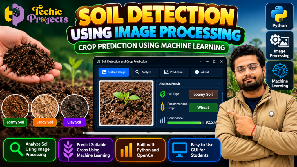
Looking for an innovative machine learning project for your final-year engineering submission? 🌱 Soil Detection Using Image Processing is an interesting project idea for students who want to explore Python, computer vision, agriculture technology, and intelligent crop recommendations in one practical application.
At Techie Projects, we help engineering students explore project ideas that connect theoretical concepts with practical implementation. This project combines soil image analysis with machine learning concepts to demonstrate how computer-based systems can assist with agricultural decision-making. If you are planning a B.Tech, BCA, MCA, or computer science project, this topic can help you build a strong foundation in image processing and intelligent agricultural applications.
Instead of spending weeks trying to develop a project from scratch, you can enquire about the available project package from Techie Projects and confirm the code, documentation, installation requirements, and other deliverables before purchasing.
Interested in this project? Visit Techie Projects or enquire directly on WhatsApp to discuss availability, pricing, and project requirements.
🎬 Watch the Soil Detection Project Demo
Explore the project demonstration to understand its proposed workflow, interface, and application of image processing to soil analysis.
The demonstration can help you evaluate whether this project matches your academic requirements and technical interests. Review the actual implementation and confirm which features are included in the available package before making a purchase decision.
🌱 What Is Soil Detection Using Image Processing?
Soil detection using image processing is a computer vision application that examines digital images to identify visual characteristics of soil. Depending on the implementation, these characteristics may include color, texture, surface patterns, and other image-based features.
The extracted information can be used to demonstrate soil classification or support a crop recommendation workflow. When machine learning is included, a trained model may use relevant features to predict a class or category based on its training data.
This project provides an opportunity to understand how image acquisition, preprocessing, feature extraction, and classification can work together in an agricultural technology application.
It is important to understand that image-based classification is not the same as a complete laboratory soil test. Actual soil fertility and crop suitability depend on factors such as pH, moisture, nutrients, climate, and local farming conditions.
🌱 Benefits of Soil Detection Using Image Processing
Soil Detection Using Image Processing offers an interesting way to explore computer vision and machine learning in agriculture. By analyzing soil images, students can learn how digital image processing techniques identify visual patterns and support classification tasks.
The major benefits of Soil Detection Using Image Processing for academic projects include:
- Image analysis: Understand how soil images can be processed and examined using Python.
- Machine learning integration: Explore how extracted features can be used for classification.
- Agricultural applications: Learn how computer vision may support soil analysis and crop recommendation workflows.
- Practical programming: Gain experience with image preprocessing, data handling, and prediction outputs.
- Project presentation: Demonstrate an application that connects computer science concepts with agricultural technology.
This project can be a useful starting point for students who want to explore intelligent agriculture applications while developing their Python and machine learning skills.
🎯 Project Objectives
The primary objective of the project is to demonstrate the use of Python-based image processing and machine learning for soil-related analysis.
Key objectives may include:
- Processing digital soil images using computer vision techniques.
- Exploring visual differences between soil samples.
- Extracting useful information from input images.
- Demonstrating soil classification using an appropriate method.
- Connecting classification results with a crop recommendation workflow, if implemented.
- Developing an interface through which users can interact with the application.
- Understanding the practical limitations of image-based agricultural predictions.
These objectives can be adapted to your institution’s project requirements after confirming the actual functionality of the selected implementation.
⚙️ How the Project Works
The workflow can be divided into several stages. The exact sequence depends on the code, model, and dataset used in the project package.
1. Soil Image Collection
The process begins with an image of a soil sample. Images should be captured or selected under suitable conditions so that lighting, camera quality, shadows, and background differences do not introduce unnecessary variation.
A consistent image collection process can improve the reliability of subsequent analysis.
2. Image Preprocessing
The input image may be resized, converted into a suitable color space, or adjusted to prepare it for analysis. Techniques such as noise reduction, normalization, and image segmentation may be used when required by the implementation.
Preprocessing helps make the input more suitable for the selected image processing method.
3. Feature Extraction
The application may extract visual characteristics such as color distribution, texture patterns, or statistical image features. The selected features depend on the project’s algorithm and training data.
Students can use this stage to learn how raw images are transformed into information that a computer can analyze.
4. Soil Classification
An image processing rule, machine learning classifier, or trained computer vision model may be used to assign a soil category.
The model’s predictions depend on the quality and diversity of its training data. A result should not be treated as scientifically verified soil composition unless supported by appropriate testing and validation.
5. Crop Recommendation
If crop prediction is included in the selected implementation, the application may associate the detected soil category with a crop recommendation.
For example, a demonstration might display a possible crop based on a predefined mapping or trained model. Such a result is educational and should not be treated as a reliable farming recommendation without additional information about nutrients, soil pH, water availability, climate, and regional growing conditions.
6. Results and User Interface
The application can display its analysis results through a graphical user interface or another output method, depending on the package.
A clear interface can make the project easier to demonstrate during a college presentation or viva.
🔬 Soil Detection Using Image Processing with Python
Soil Detection Using Image Processing with Python combines image preprocessing, feature extraction, and classification techniques in a practical application. The system accepts a soil image and processes it according to the methods used in the implementation.
Python libraries such as OpenCV and NumPy can support image manipulation and numerical operations. If the project includes a trained machine learning model, the extracted features or processed input can then be passed to that model to generate a prediction.
The results depend on the dataset, algorithm, and testing conditions. For better reliability, the application should be evaluated using varied images and appropriate performance metrics. Students can also explore how lighting, image quality, and soil moisture affect classification results.
By studying these steps, learners can understand how Soil Detection Using Image Processing connects computer vision concepts with a real-world agricultural problem.
💻 Technologies Used
The technologies depend on the final implementation. Common tools for this type of project include:
- Python: Main programming language for image processing and machine learning.
- OpenCV: Image loading, transformation, preprocessing, and computer vision operations.
- NumPy: Numerical operations and array handling.
- Machine learning libraries: May be used for feature processing, classification, or prediction.
- Tkinter or another GUI framework: May be used to build an interactive application.
- Image datasets: Soil images used for development, training, or evaluation.
Not every implementation requires all these technologies. Confirm the exact libraries, model, dataset, and Python version before purchasing.
🚀 Key Features to Explore
Depending on the available version, the project may demonstrate some of the following features:
Soil Image Analysis
Process an image and examine visual characteristics that may help distinguish soil categories.
Image-Based Classification
Demonstrate how an algorithm can classify an image using learned patterns or predefined image features.
Crop Prediction Workflow
Explore how classification results may connect to a crop recommendation component, if included.
Graphical User Interface
Use a visual interface to interact with the application, select an image, and view available results.
Practical Machine Learning Workflow
Understand the relationship between input data, preprocessing, feature extraction, model prediction, and output.
Purchase tip: Ask Techie Projects to confirm which of these features are actually implemented in the package you intend to buy.
🎓 Why Choose This Project for Your Engineering Course?
Soil Detection Using Image Processing can be a useful academic topic because it combines multiple concepts in a single application.
For computer science students: The project introduces image processing, data handling, classification, and model evaluation.
For AI and machine learning students: It provides a starting point for exploring how data features are used to generate predictions.
For agricultural technology interests: It demonstrates a possible connection between computer vision and agricultural decision-support systems.
For project presentations: The image input and visible output can help students explain the system workflow, provided the implementation includes these functions.
For practical learning: Students can investigate model limitations, test different images, examine errors, and suggest future improvements.
The educational value depends on how well you understand and explain the implementation—not simply whether the application produces a result.
🧪 Software and Hardware Requirements
The exact requirements depend on the project’s code and libraries. A typical Python implementation may require:
Software Requirements
- Operating system: Windows or another supported platform.
- Python: A version compatible with the project’s dependencies.
- Required Python libraries: Confirm the package’s dependency list.
- Code editor or IDE: Visual Studio Code, PyCharm, or another suitable tool.
- Dataset: Required only if the implementation uses one for training or testing.
Hardware Requirements
- A laptop or desktop computer.
- Sufficient RAM and storage for the code, libraries, and image data.
- A camera or image files, if needed for input.
A basic image-processing application may run on a standard computer without a dedicated GPU. However, actual requirements depend on the selected model and implementation.
🌾 Real-World Applications and Future Scope
Image processing and machine learning offer several possibilities for agricultural research and educational projects.
Potential areas for further exploration include:
- Soil image classification experiments.
- Agricultural image analysis.
- Educational crop recommendation systems.
- Integration with soil moisture or environmental sensors.
- Combining image features with laboratory soil measurements.
- Developing a web-based interface for remote access.
- Evaluating different machine learning algorithms.
- Creating a dataset with varied soil types and capture conditions.
These are possible extensions, not guaranteed features of the existing project. Any real-world agricultural use would require suitable data, testing, and validation.
⚠️ Limitations You Should Understand
A good engineering project should explain its limitations as well as its features.
Image appearance can change with lighting, camera settings, moisture, and sample preparation. Visually similar soils may have different nutrient levels or pH values. A classifier trained on a limited dataset may not perform well on unfamiliar samples.
Similarly, crop suitability cannot be established reliably from soil appearance alone. Real recommendations require additional environmental and soil information.
For academic work, document the dataset, algorithm, evaluation method, known limitations, and possible improvements. This makes your project explanation more credible and helps you answer questions during your viva.
🛒 Purchase the Soil Detection Using Image Processing Project
Looking for Soil Detection Using Image Processing for your final-year project or academic demonstration? Techie Projects can help you enquire about the available Python project package and its suitability for your course requirements.
Before purchasing, confirm whether the package includes source code, installation instructions, documentation, dataset files, and the features you need. You should also check the supported Python version, dependencies, delivery process, and any available technical assistance.
Before placing an order, confirm the deliverables that matter to you:
- Project source code and supported Python version.
- Installation instructions and dependency requirements.
- Dataset or model files, if required.
- Project documentation and report availability.
- Demonstration video or setup assistance, if offered.
- Price, delivery method, and any applicable support terms.
Availability and included services should be confirmed directly before payment.
📲 Contact Techie Projects
- 📲 Call/WhatsApp: +91-9460060699
- 🌎 Website: www.techieprojects.com
- 📺 Instagram: @pythonprojects_
Send your course, department, deadline, and required features when enquiring. This helps clarify whether the project is suitable for your academic needs.
Use the project to support your learning, understand the code, and prepare your own explanation. Follow your institution’s rules for project submission and disclosure.
🔗 Explore Related Python Projects
If you are interested in related areas, explore other project topics available on Techie Projects, such as:
- Python Image Processing Projects
- Machine Learning Projects
- Computer Vision Projects
- Artificial Intelligence Projects
- Data Analytics Projects
- Agriculture Technology Projects
Choose a topic that matches your course requirements, available time, and technical interests.
❓ Frequently Asked Questions
1. What is Soil Detection Using Image Processing?
It is a computer vision approach that analyzes soil images to identify visual characteristics and may classify samples into categories, depending on the algorithm and dataset.
2. Can this project predict suitable crops?
A crop recommendation component may be included in some implementations. Confirm its availability and how it generates predictions. Reliable agricultural recommendations require more than visual soil information alone.
3. Which programming language is used?
Python is commonly used for image processing and machine learning projects of this type. Confirm the language and version supported by the specific package.
4. Is this project suitable for final-year engineering students?
It can be a suitable topic for students studying computer science, AI, machine learning, or related fields, provided the scope meets their institution’s requirements.
5. Can beginners understand the project?
Beginners can use it as a learning opportunity if they study Python, image processing basics, and the algorithm used. The level of difficulty depends on the implementation.
6. What should I check before purchasing?
Confirm the source code, dependencies, dataset, documentation, installation process, available features, price, and support terms before placing an order.
7. How can I enquire about this project?
Visit Techie Projects or message Techie Projects on WhatsApp to ask about availability and the package details.
✅ Conclusion
Soil Detection Using Image Processing and Crop Prediction Using Machine Learning is a practical educational topic for exploring Python, computer vision, and agricultural technology. It can help students understand image preprocessing, feature extraction, classification, and prediction workflows while identifying opportunities for further development.
If you want to use this project for your academic work, contact Techie Projects to confirm the available implementation and deliverables before purchasing. Review the code, understand the methodology, and prepare to explain the system’s results and limitations confidently.
Ready to discuss your project requirements? Visit Techie Projects or contact us on WhatsApp for project availability and purchase enquiries.